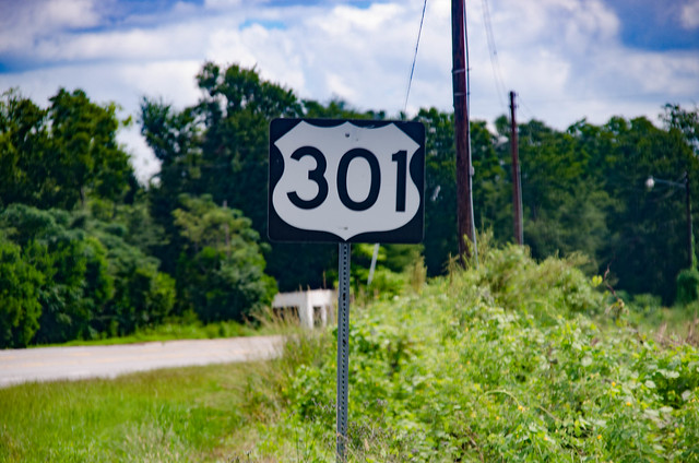
It was time to explore Highway 301. I had done the preliminary research and discovered the importance of The Tobacco Trail as a major route through South Carolina. I was ready to get out and actually take photos of some of these locations. However, I still had a bit of research to do.
The first thing I did was begin collecting old postcards and images from eBay and other sources. This would give me a comparison of what had been with what I would find. The next step was to mark potential locations in Google Earth. I traced the route of 301 through the state, marking motel and other locations as I spotted them. I also added any National Register or other interesting sites I found along the way. These were then uploaded to my GPS so I’d have them for ready reference.